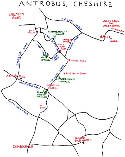
Maps
Here are several maps of areas where Hindleys were living.
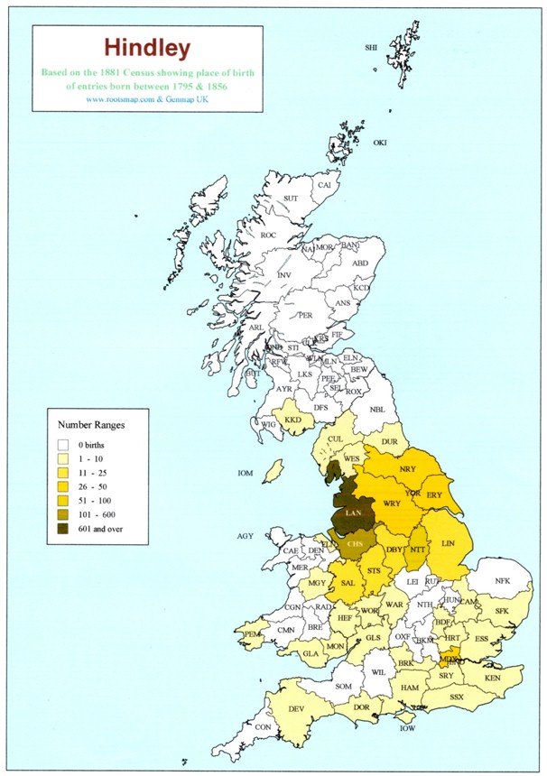
The first map shows Hindleys concentrated in Lancashire & Cheshire, based on the 1881 Census.
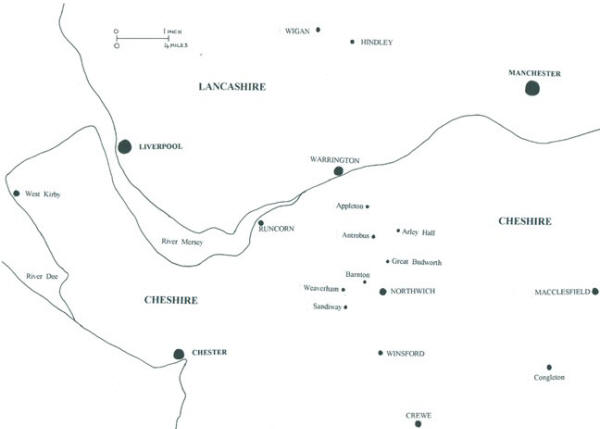
This map shows an overall picture of the area covered by the text, with some key towns and villages.
The Ancient Parishes Townships and Chapelries of Cheshire –
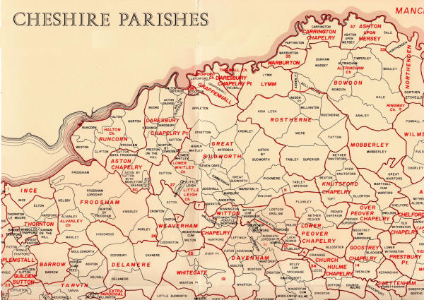
The Ancient Parishes, Townships and Chapelries of Cheshire map was produced by F.I.Dunn in 1987 for Cheshire Record Office, in conjunction with a booklet. This section of the map covers most of the districts mentioned in this webspace.